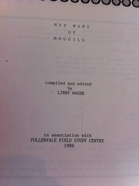
From "Mud maps of Moggill", compiled and edited by Libby Wager in association with the Pullenvale field study centre 1988
All the headstone photos in
Historic Moggill cemetery, Brisbane
Names in photographed order.
Names in alphabetical order.
Latitude -27.55857738579947, Longitude 152.8878575140404
Latitude -27° 33’ 31", Longitude 152° 53’ 16"
GoogleMap
or GoogleEarth map application for Historic Moggill cemetery, Brisbane. (What's this?)
All the cemeteries
© Copyright 1996-2024 Kerry Raymond and David Horton