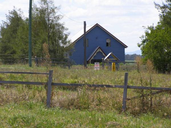
former church?,
Milbong St Luke's Lutheran cemetery, Boonah Shire
All the headstone photos in
Milbong Lutheran, Boonah shire
Names in photographed order.
Names in alphabetical order.
Latitude -27.93253942939531, Longitude 152.7144917299038
Latitude -27° 55’ 57", Longitude 152° 42’ 52"
GoogleMap
or GoogleEarth map application for Milbong Lutheran, Boonah shire. (What's this?)
All the cemeteries
© Copyright 1996-2024 Kerry Raymond and David Horton
