Compare to Brisbane 1844 (1833) map
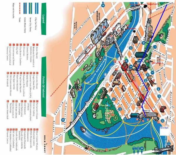
Approx location of General cemetery near Skew street at end of William Jolly bridge
Approx location of early graves near Herschel street.
Windmill and Commissariat Stores remain.
All the headstone photos in
North Quay, Brisbane
Names in photographed order.
Names in alphabetical order.
Latitude -27.46702593786628, Longitude 153.0147990027361
Latitude -27° 28’ 1", Longitude 153° 0’ 53"
GoogleMap
or GoogleEarth map application for North Quay, Brisbane. (What's this?)
All the cemeteries
© Copyright 1996-2024 Kerry Raymond and David Horton
