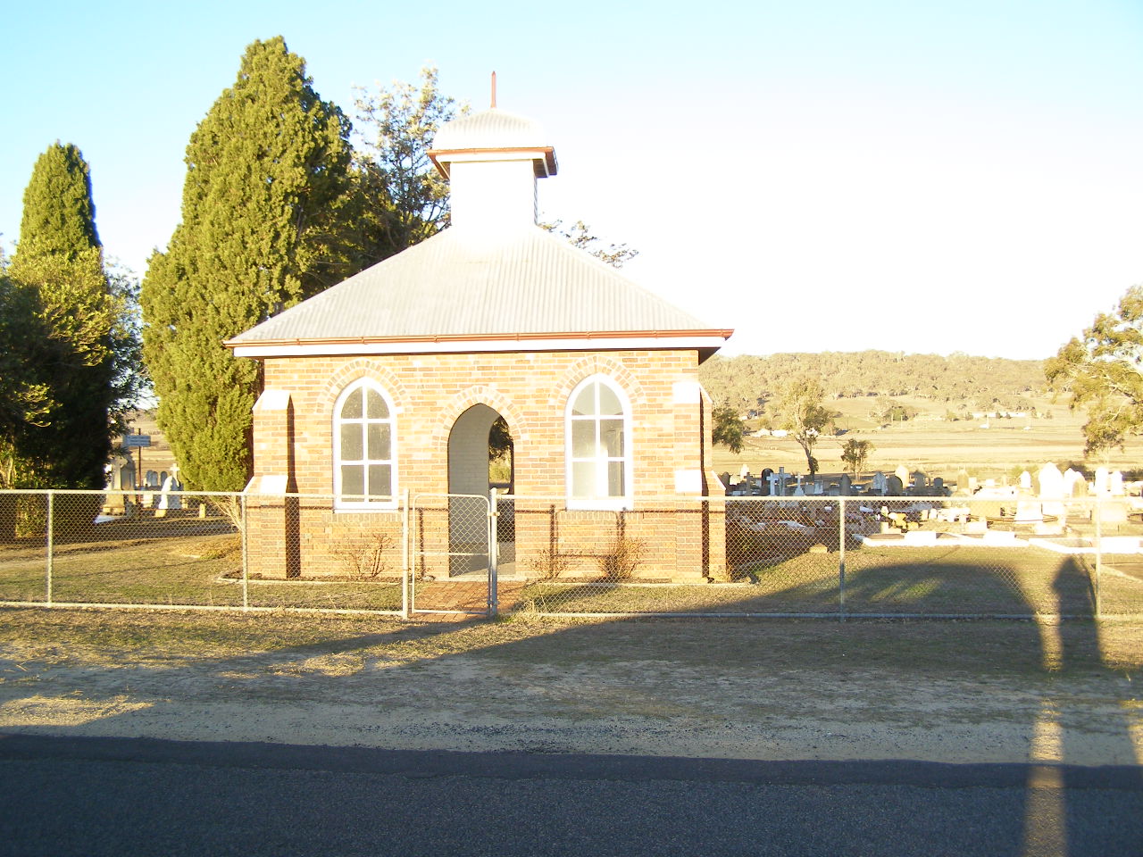
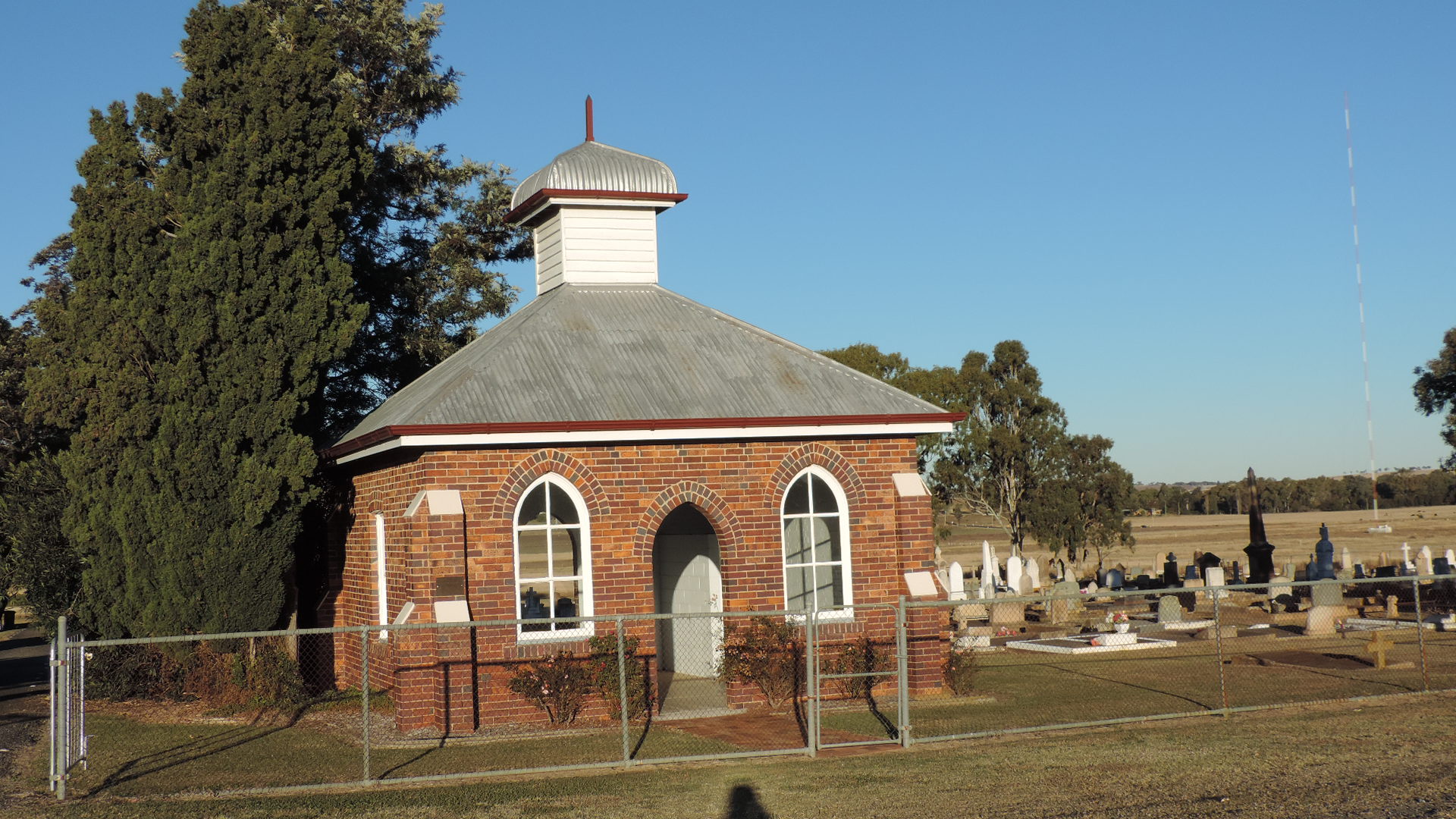

| (B-0058.JPG) |
| |
| (B-0059.JPG) |
| |
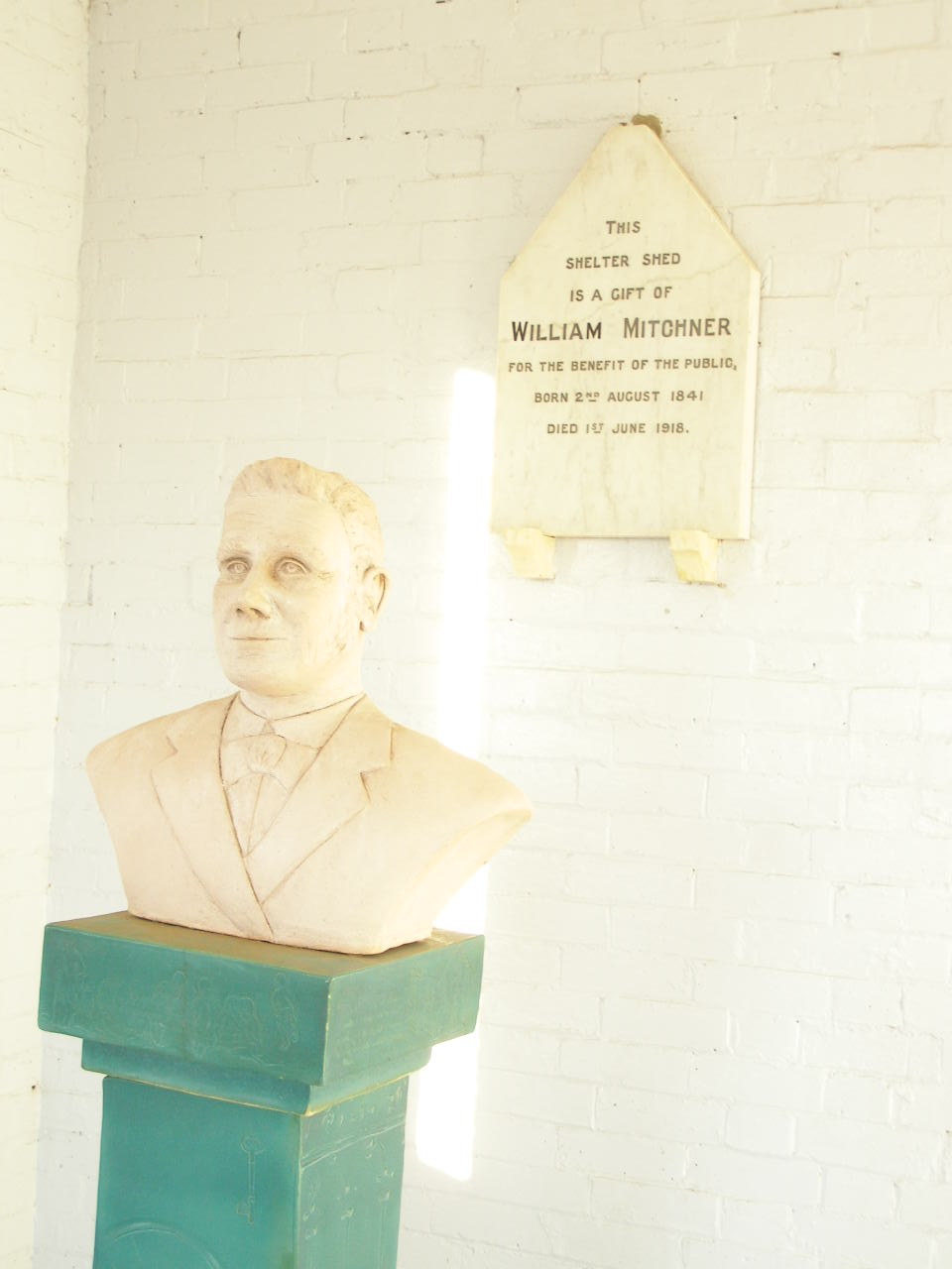
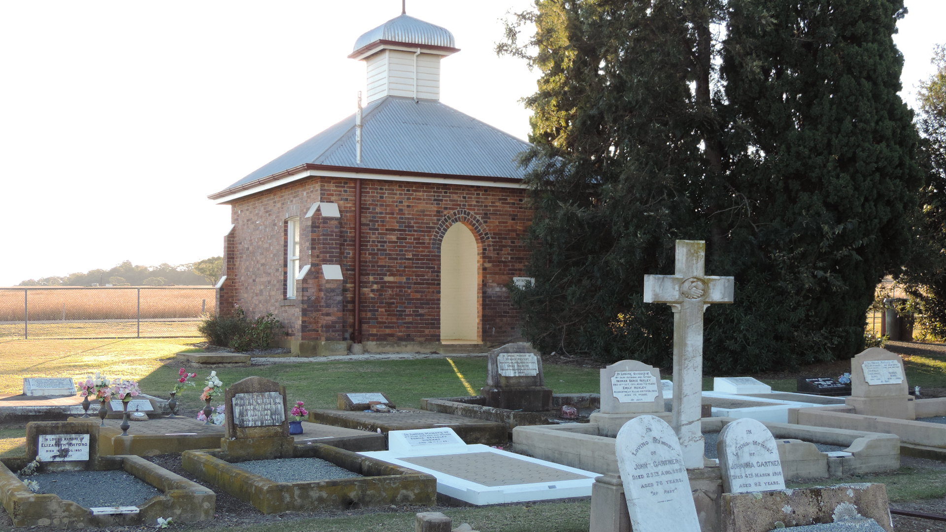
| (B-0060.JPG) |
| |
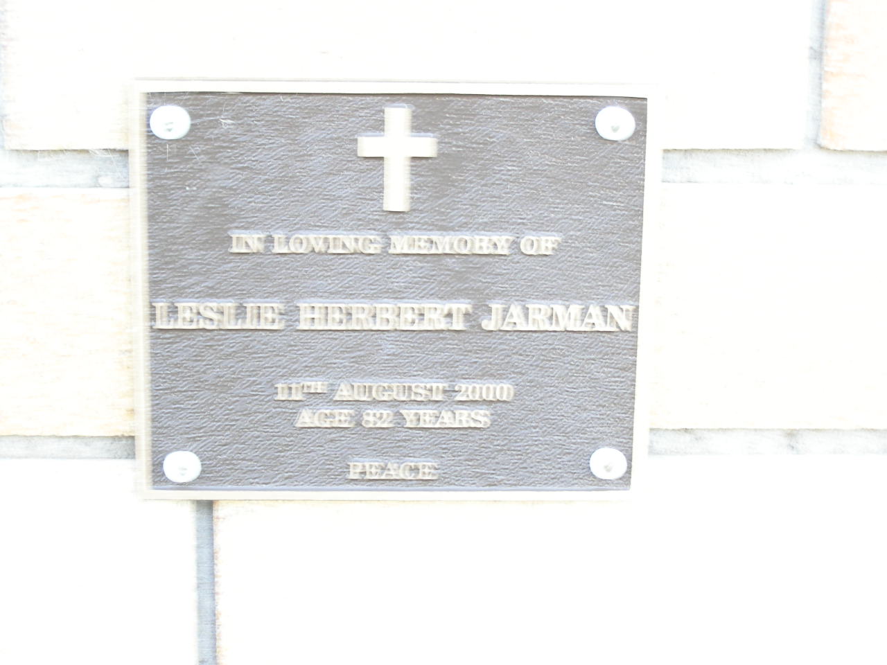
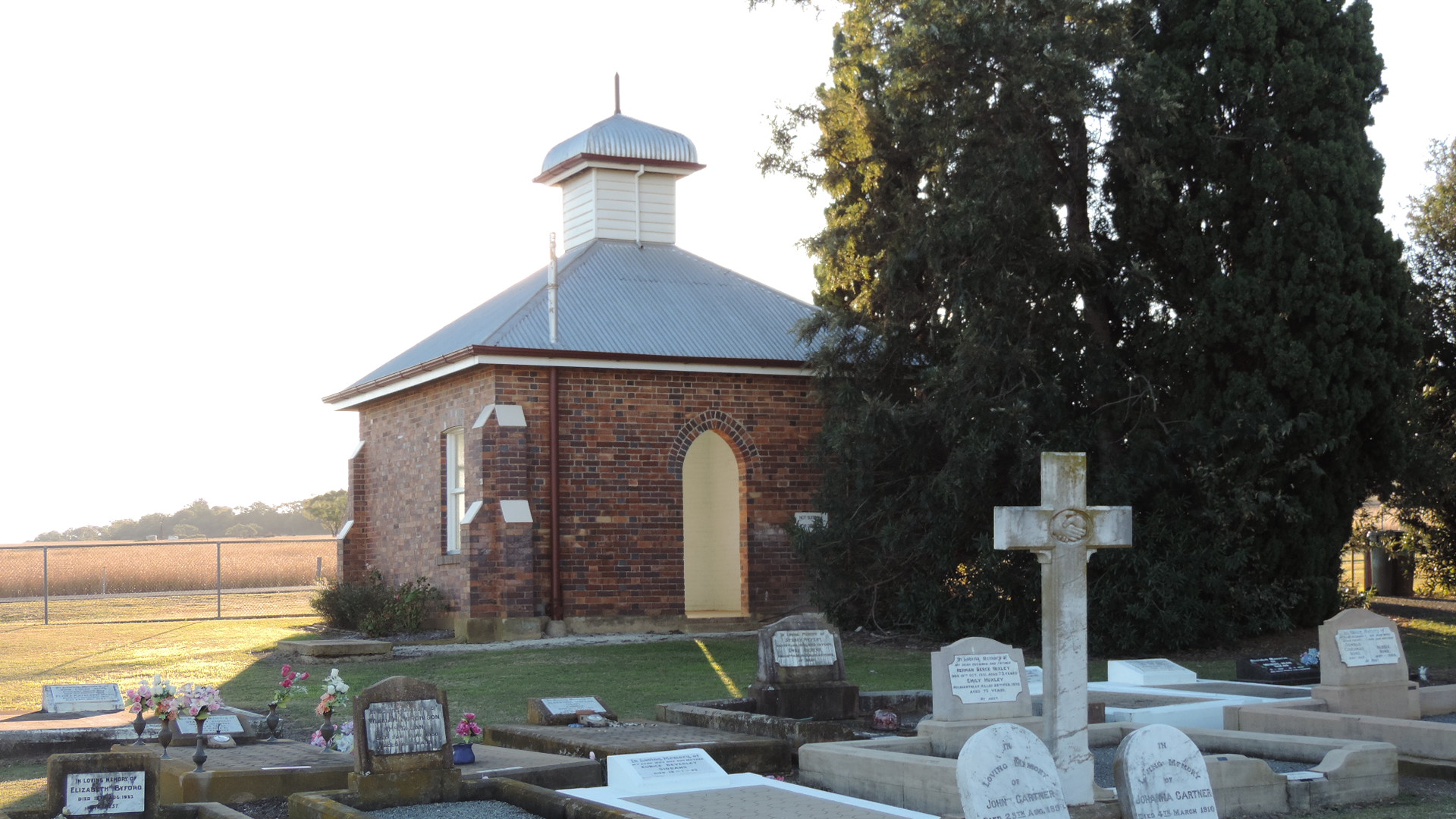
| (B-0061.JPG) |
| |
| (DSCN5590.JPG) |
| |
| (DSCN5591.JPG) |
| |
| (DSCN5592.JPG) |
| |
| (DSCN5593.JPG) |
| |
| (DSCN5594.JPG) |
| |
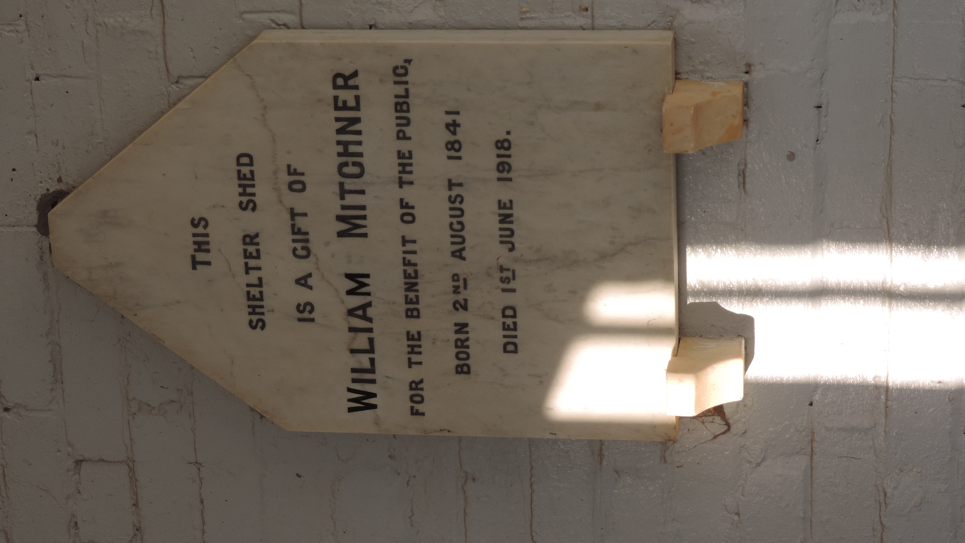
| (DSCN5595.JPG) |
| |
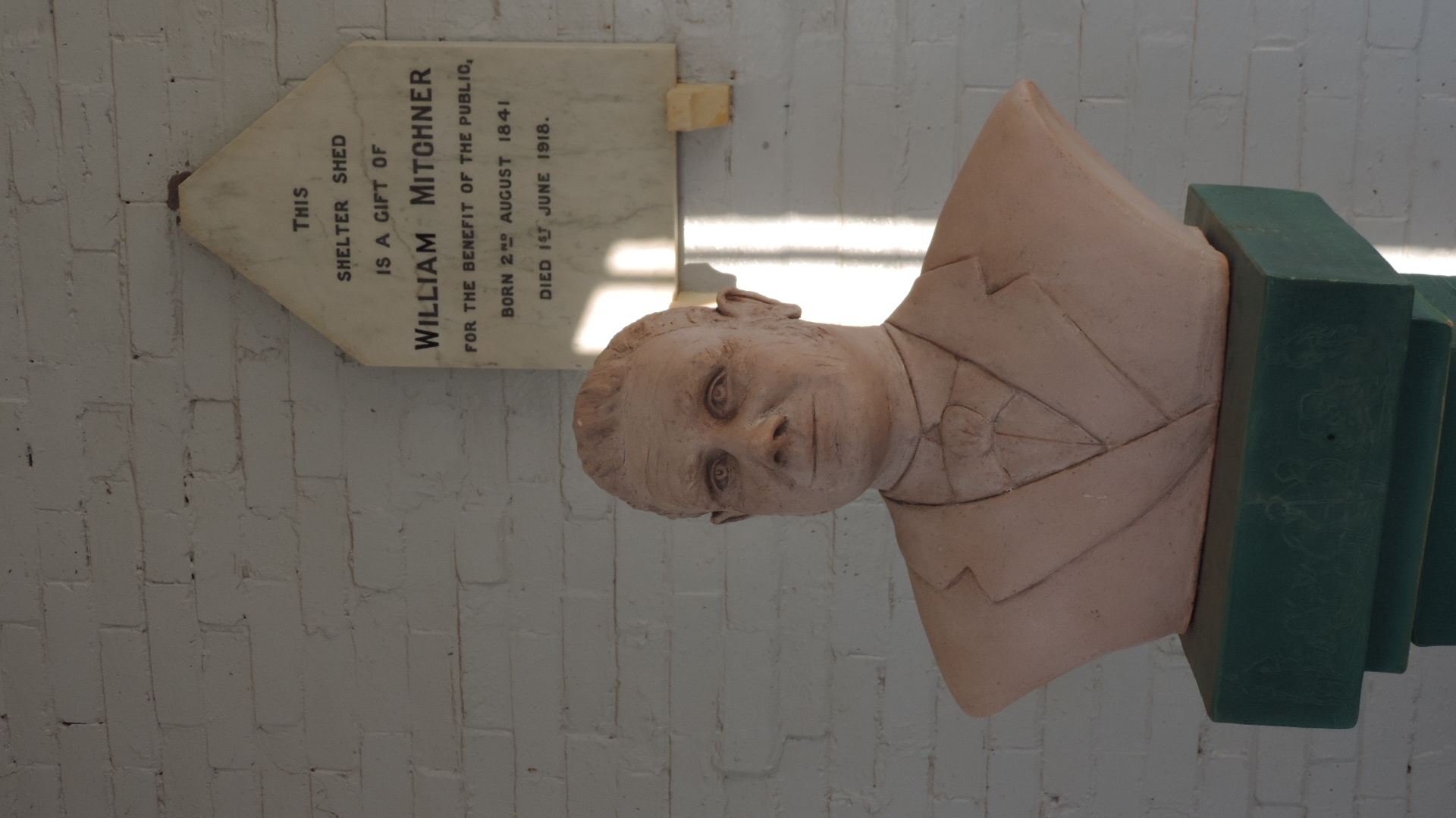
| (DSCN5596.JPG) |
| |
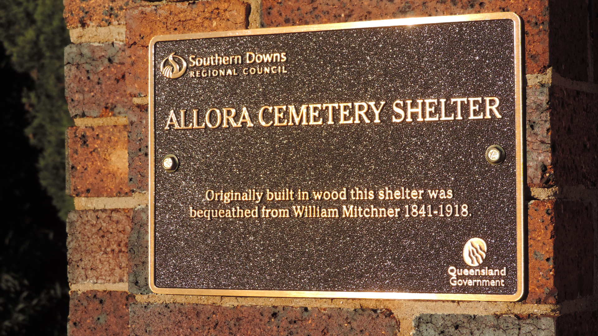
| (DSCN5597.JPG) |
|
Name associated with an Aboriginal word (language and dialect not recorded) indicating waterhole (Gnallarah) or swamp place, presumably referring to a local lagoon.
More information about
Place name from dept of Natural Resources and Water
Transcriptions from "Cemeteries of the Darling Downs and Beyond"
Allora General - transcriptions from Interment.net
Allora Cemetery - Environmental Protection Agency and also place details
Looking Back - Allora Historical (from Ray Tippett . com)
Allora and District Historical Society
St David's Church of England - 1901. (place details
Interesting places - Allora
Allora - Places to visit (Queensland Holidays)
Allora town map
Allora - (total travel .com.au)
photos of Allora churches
Anglican archives - 1982 - Clifton Parish merged with Allora Parish and 1886 Year Book lists Allora as a Parish centre
Allora - Warwick tourism
Southern Downs Cemeteries
Queensland Historical Atlas - Darling Downs
Photographed: To be done
Displayed images are scaled down to fit on the screen, but full-size images can be obtained by clicking.
Latitude -28.020006666666, Longitude 151.975093333333
Latitude -28° 1’ 12", Longitude 151° 58’ 30"